Explore Southern Oregon in 3D
Loading the valley…
Bringing in terrain and aerial imagery.
YOUR VALLEY ADVENTUREChoose a beacon or take the guided flight
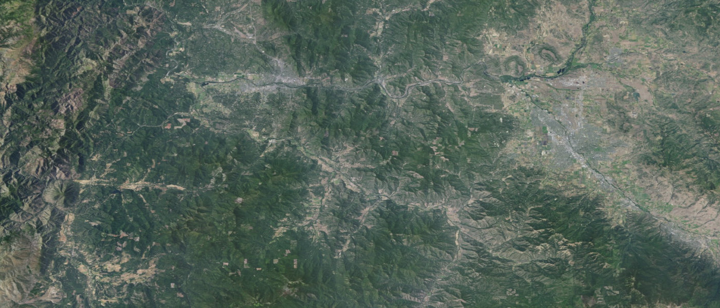
Aerial imagery: USDA / USGS The National Map. Terrain: USGS SRTM and GMTED2010 via Mapzen / AWS Open Data. Map labels and buildings: OpenFreeMap / OpenStreetMap. Cave Junction is in the neighboring Illinois Valley.
All community stops
Choose a town for its events, weather and full guide. The imagery shows the real landscape; content updates from Rogue Valley Now.
Cave Junction guide Grants Pass guide Rogue River guide Central Point guide Medford guide Jacksonville guide Ashland guide Eagle Point guide
Return to the regular map