Language / Idioma
Skip to page content
Jackson County · Josephine County · Southern Oregon
Rogue Valley Now
Menu
Plan a local day

Crater Lake day trip from the Rogue Valley: routes and seasonal access

Plan a Crater Lake day from Medford, Ashland or Grants Pass using current park access, seasonal route choices, 12 viewpoint and trail options, and realistic itineraries. Boat access is closed; choose a rim-focused visit.

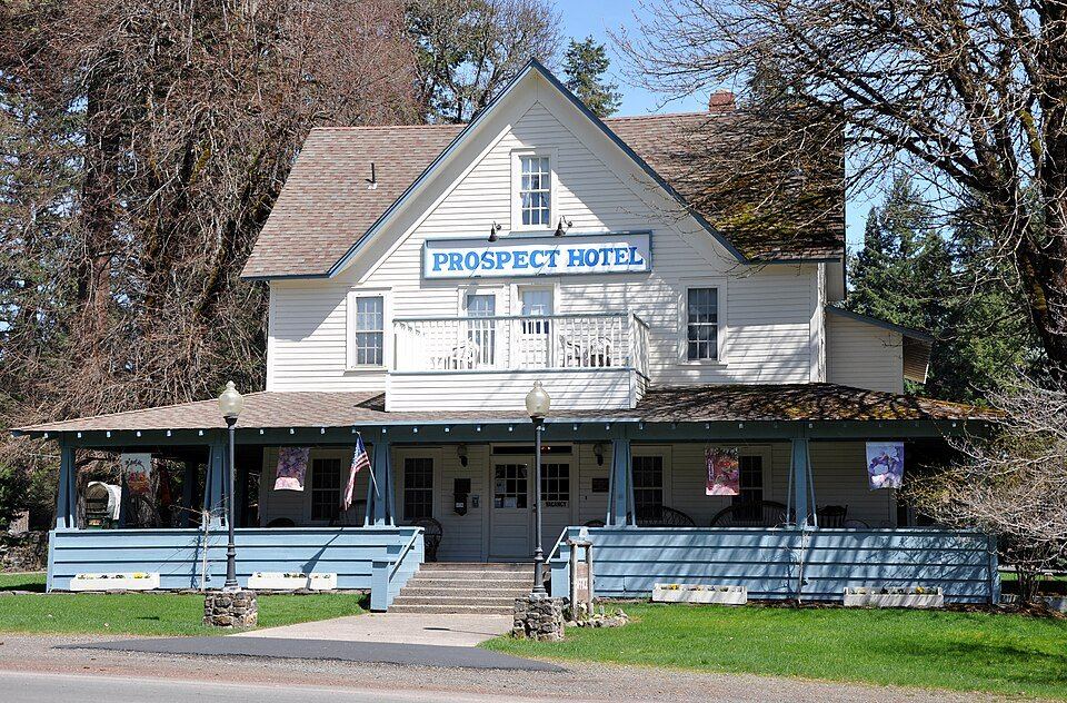
Historic Prospect Hotel in Prospect, OregonROGUE VALLEY · SOUTHERN OREGON

Guide presentation updated October 27, 2026. Activity facts were source-reviewed October 4 unless a listing says otherwise. Published schedules and prices are a dated snapshot; confirm your visit with the linked original source.

Photo: Historic Prospect Hotel in Prospect, Oregon · Finetooth · CC BY-SA 3.0. Resized and cropped to fit; reuse terms retained.

Choose something to do

See specific places and practical visit details here. Filter by area or experience, then use the official links for current access, reservations or registration.

Showing 12 of 12 listings

Rim Village 2 listings

Viewpoint

Rim Village views

Start with lake overlooks and visitor facilities.

ViewsShort visit
Visit details

Use the NPS accessibility guide to select a suitable paved viewpoint; do not assume all rim paths or pullouts are accessible.

Source reviewed October 4, 2026. Hours, prices and access may change.

Official information / booking ↗

Strenuous hike

Garfield Peak

3.6 miles round trip; 1,010 feet elevation gain.

Hike
Visit details

Starts behind the lodge. Choose this as the main activity rather than adding it to a packed driving loop.

Source reviewed October 4, 2026. Hours, prices and access may change.

Official information / booking ↗

West Rim 2 listings

Moderate walk

Discovery Point

2 miles round trip; 100 feet elevation gain.

WalkViews
Visit details

Begins west of Rim Village; the route changes from paved to dirt.

Source reviewed October 4, 2026. Hours, prices and access may change.

Official information / booking ↗

Moderate hike

Watchman Peak

1.6 miles round trip; 420 feet elevation gain.

HikeViews
Visit details

A compact climb to a lake-view lookout. Verify snow and trail access before starting.

Source reviewed October 4, 2026. Hours, prices and access may change.

Official information / booking ↗

East Rim 2 listings

Moderate walk

Sun Notch

0.8-mile loop; 150 feet elevation gain.

WalkViews
Visit details

A short viewpoint walk toward Phantom Ship; availability depends on East Rim access.

Source reviewed October 4, 2026. Hours, prices and access may change.

Official information / booking ↗

Strenuous hike

Mount Scott

4.4 miles round trip; 1,250 feet elevation gain.

Hike
Visit details

A longer exposed climb; allow the day’s walking time and weather margin.

Source reviewed October 4, 2026. Hours, prices and access may change.

Official information / booking ↗

Pinnacles Road area 2 listings

Moderate walk

Plaikni Falls

2 miles round trip; 100 feet elevation gain.

WalkWaterfall
Visit details

Confirm Pinnacles Road access before routing here. NPS describes all-terrain-wheelchair access except the last quarter mile.

Source reviewed October 4, 2026. Hours, prices and access may change.

Official information / booking ↗

Easy walk

Pinnacles

0.8 miles round trip; 10 feet elevation gain.

Walk
Visit details

Road construction/access restrictions can change the practical approach. Check conditions before committing.

Source reviewed October 4, 2026. Hours, prices and access may change.

Official information / booking ↗

Park headquarters area 1 listing

Easy walk

Castle Crest

0.5-mile loop; 100 feet elevation gain.

Walk
Visit details

A short meadow-area loop for a smaller walking commitment.

Source reviewed October 4, 2026. Hours, prices and access may change.

Official information / booking ↗

South park 2 listings

Easy walk

Godfrey Glen

1.1-mile loop; 50 feet elevation gain.

WalkPets
Visit details

NPS lists all-terrain-wheelchair use with assistance and allows pets on this trail.

Source reviewed October 4, 2026. Hours, prices and access may change.

Official information / booking ↗

Moderate hike

Annie Creek

1.7-mile loop; 200 feet elevation gain.

Hike
Visit details

Canyon walking with steep sections. Avoid treating a short distance as automatically easy.

Source reviewed October 4, 2026. Hours, prices and access may change.

Official information / booking ↗

North / lake shore 1 listing

Closed

Cleetwood Cove / boat access

Closed throughout 2026; no public boat tours in 2026–2028.

Closed
Visit details

The rehabilitation project page controls this advice. Do not book a day around reaching the shore or a boat departure.

Source reviewed October 4, 2026. Hours, prices and access may change.

Official information / booking ↗

Compare your choices

Choose an option, then check its source for your visit.
Visit styleBest fitPlan around
Rim views and a short walkA first visit with a smaller walking commitmentRim Village, current visibility, paved-access choices and a few overlooks.

NPS planning source →

One main hikeA group prepared for trail and weather demandsChoose the distance and elevation gain before adding a drive loop.

NPS planning source →

Fall / winter visitFlexible travelers with a conditions-based planCurrent road opening and traction advice; do not assume Rim Drive is available.

NPS planning source →

Current access: an October 2026 snapshot

NPS’s October 3 conditions update lists Rim Drive open, with some pullouts affected by work and traffic control. That status can change with snow. Cleetwood Cove is closed throughout 2026, and the rehabilitation project says no public boat tours in 2026–2028.

Lost Creek Campground and trolley service are listed closed in the current conditions notice. Pinnacles Road information includes construction and restricted access, so confirm the approach before choosing Plaikni Falls or the Pinnacles. Do not use an old boat-tour itinerary as the basis for this day trip.

Route planning from Medford, Ashland and Grants Pass

For a west-side approach, plan around the Highway 62 corridor through the Upper Rogue and the park’s west/south access. From Ashland, account for reaching that corridor before the park drive; from Grants Pass, compare the actual route from your lodging rather than borrowing a Medford departure time. Set navigation to the entrance or Rim Village you intend to use, not a generic lake pin.

The north entrance and Rim Drive normally close November 1 or earlier after heavy snow; south access can also close temporarily. Check road status before departure and before choosing a loop that relies on a second entrance.

Suggested plan: a rim-view day with little hiking

Choose Rim Village as the anchor, then add a short walk or a small number of overlooks if the road and weather allow. Bring a packed lunch so a concession closure does not determine the whole day. Select an accessible viewpoint from the NPS guide if paved access, limited walking or restroom proximity matters.

Leave time to enjoy the lake rather than treating every pullout as a required stop. If visibility or access deteriorates, shorten the visit and return on a confirmed-open route; do not assume a complete rim loop will remain available.

Suggested plan: one hike and selected viewpoints

Pick one main trail, then let its length, elevation gain and conditions determine the rest of the day. Discovery Point provides a smaller commitment than Garfield Peak or Mount Scott; Watchman is short in miles but includes a climb. Sun Notch can fit a shorter East Rim walking stop when that approach is open.

Plaikni Falls and the Pinnacles depend on their road access. The directory lists NPS route measurements, not a promise of snow-free footing. Carry appropriate clothing, food and water and turn around with enough time for the drive back.

Fall and winter need a different itinerary

For a fall visit, check fresh snowfall, wind, visibility and closures rather than relying on a summer driving plan. In winter, a Rim Village visit may be the practical objective; the closed rim loop is not a through-route. NPS publishes winter travel and traction requirements, so read them for your vehicle and date.

Budget time for slower travel, temporary delays and daylight. A lower-elevation alternative in the Rogue Valley is worth having when park access or the view is poor; it should remain a flexible fallback, not a second long excursion packed into the same day.

Entrance fees, fuel, food and communication

NPS says no entry reservation is required and entrance payment is cashless. A private-vehicle pass is $30 from May 22–October 31 and $20 from November 1–May 21, valid seven days for the vehicle’s occupants. Check any qualifying pass separately.

Fuel and concession service are seasonal; the current notice lists Mazama fuel through October 13, 2026, but facility notices can change. Fill up before the mountain drive, bring water and food, and download maps because cellular service is sporadic. The park conditions page identifies emergency communication arrangements; read it before relying on a phone-only plan.