Big Tree Trail
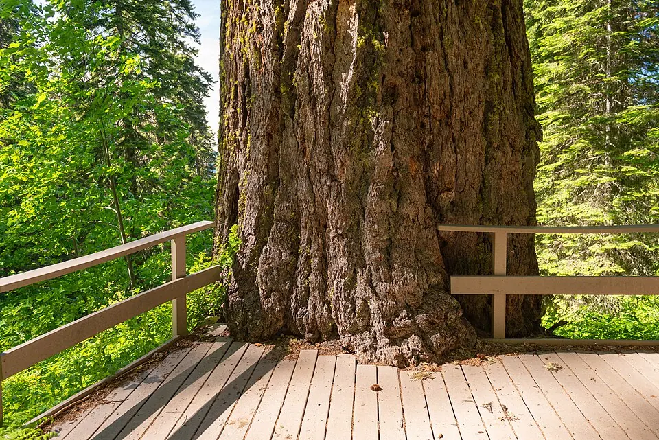
A steep forest climb to an exceptionally large Douglas-fir.
 BIG TREE TRAIL · SOUTHERN OREGON
Plan this specific route
- Near
- Oregon Caves
- Distance
- 3.3-mile loop
- Effort
- Strenuous Editorial estimate
- Route type
- Named route
What the walk involves
NPS measures the complete loop at 3.3 miles with about 1,125 feet of elevation gain. The 1.3-mile figure sometimes quoted is only the one-way distance to the tree, not the full hike.
A steep forest climb to an exceptionally large Douglas-fir.
What makes this trail distinct
The destination is a notably large Douglas-fir amid forest above the caves. Allow time for a sustained climb and follow the park's designated loop rather than turning a one-way figure into a round-trip estimate.
Before you set out
NPS lists 1,125 feet of gain; the 1.3-mile figure is only the one-way distance to the tree.
Use the National Park Service trail information ↗ for the latest route map, trailhead access, permitted uses and notices. Conditions can change after our review; if a junction or sign disagrees with this guide, follow the current land-manager guidance.
Maps, descriptions and video
Start with the managing agency for access and rules. The additional descriptions and videos below offer another look at the area; they do not replace an official map.
Route and source details reviewed September 27, 2026. Mileage labels preserve the land manager's distinction between one-way segments, round trips, loops and full trail networks. Conditions and closures require a fresh check before travel.