Grizzly Peak Trail
Forest and open viewpoints over the valley in Cascade-Siskiyou National Monument.
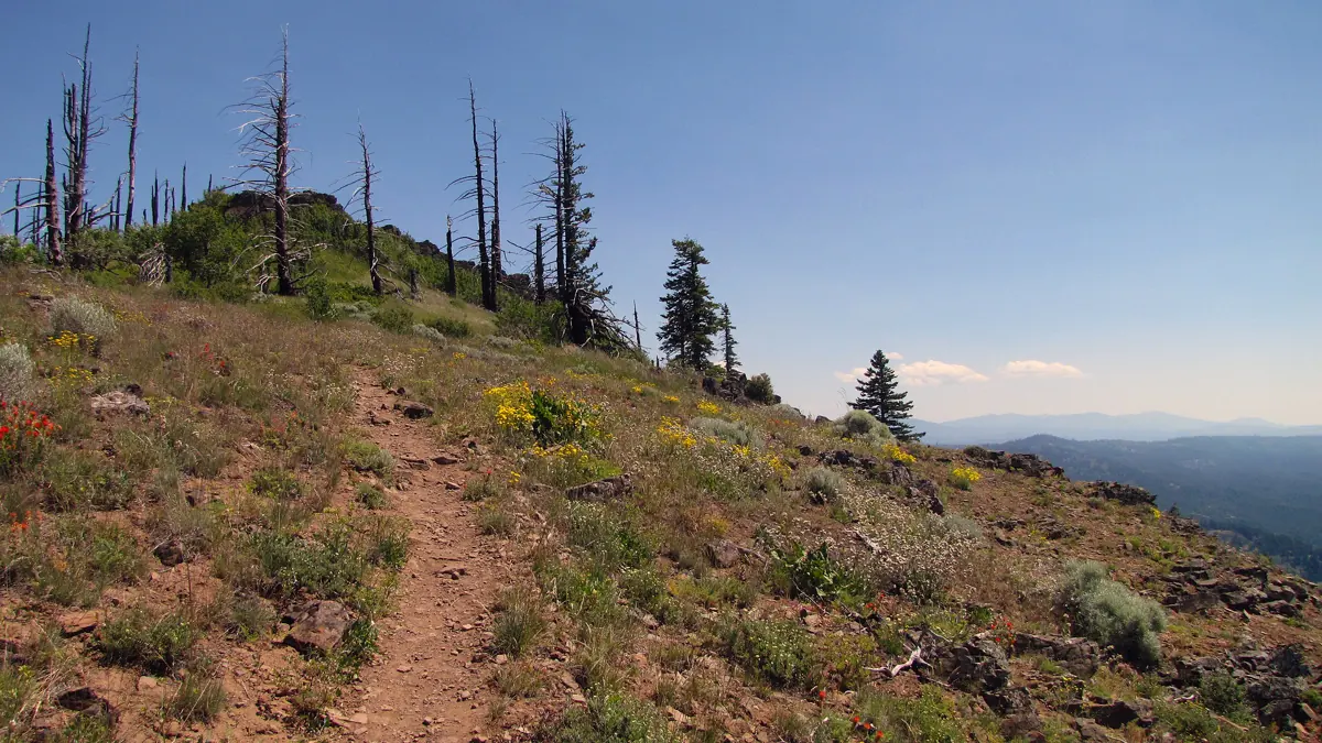 GRIZZLY PEAK TRAIL · SOUTHERN OREGON
Plan this specific route
- Near
- East of Ashland
- Distance
- 3 miles one way to trail's end
- Effort
- Moderate Editorial estimate
- Route type
- Named route
What the walk involves
BLM describes a three-mile trail to its end, with about 700 feet of total climbing. The strongest viewpoint lies beyond the high point; continue only if your time and return plan allow, and use the BLM route map for the precise loop and trailhead.
Forest and open viewpoints over the valley in Cascade-Siskiyou National Monument.
What makes this trail distinct
Forest, open vistas and remnants of past fire make the summit area distinct from the lower valley. There is no drinking water at the trailhead, parking is limited, and snow may obstruct the access road. Hikers share the route with bikes and horses.
Before you set out
BLM lists 700 feet of climb. The best viewpoint is past the high point on the loop; snow can block the access road.
Use the BLM trail information ↗ for the latest route map, trailhead access, permitted uses and notices. Conditions can change after our review; if a junction or sign disagrees with this guide, follow the current land-manager guidance.
Maps, descriptions and video
Start with the managing agency for access and rules. The additional descriptions and videos below offer another look at the area; they do not replace an official map.
Route and source details reviewed September 27, 2026. Mileage labels preserve the land manager's distinction between one-way segments, round trips, loops and full trail networks. Conditions and closures require a fresh check before travel.