Natural Bridge river walk
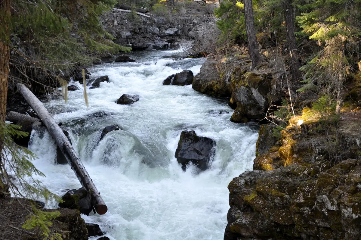
A short outing to the place where the Rogue passes through a lava tube.
 NATURAL BRIDGE RIVER WALK · SOUTHERN OREGON
Plan this specific route
- Near
- Union Creek
- Distance
- Choose a short signed river section
- Effort
- Gentle Editorial estimate
- Route type
- Choose a section
What the walk involves
Start from the signed Natural Bridge area and choose a short riverside segment from the Forest Service map. This is a local walk connected to the longer Upper Rogue River Trail, not the entire 43-mile corridor.
A short outing to the place where the Rogue passes through a lava tube.
What makes this trail distinct
Here the Rogue passes through a lava tube. View it from designated locations: fast water, slick surfaces and unstable edges make off-trail river exploration unsafe.
Before you set out
Use the signed trail at Natural Bridge; stay away from swift water and unstable edges.
Use the U.S. Forest Service trail information ↗ for the latest route map, trailhead access, permitted uses and notices. Conditions can change after our review; if a junction or sign disagrees with this guide, follow the current land-manager guidance.
Maps, descriptions and video
Start with the managing agency for access and rules. The additional descriptions and videos below offer another look at the area; they do not replace an official map.
Route and source details reviewed September 27, 2026. Mileage labels preserve the land manager's distinction between one-way segments, round trips, loops and full trail networks. Conditions and closures require a fresh check before travel.