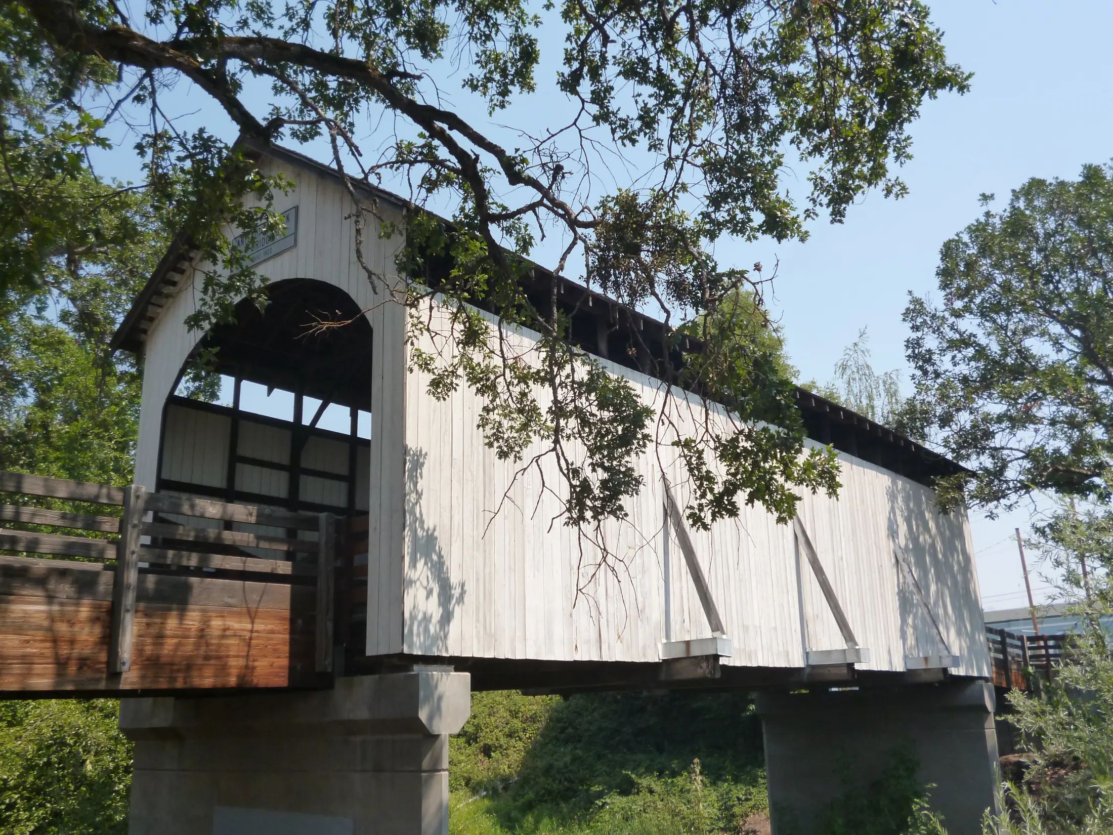
Central Point at a glance
- Before 1850Takelma communities use the Rogue and Bear Creek landscape.
- 1850s–1880sA road junction becomes a settlement; the town shifts toward a rail depot.
- 1900s–30sOrchards boom, then decline; Rogue Creamery and Grange Co-op take root.
- 1940s onwardCamp White, timber, Highway 99 and I-5 reshape work and travel.
A crossroads before the depot
Central Point’s name points to a road junction, but the place’s history is older than those roads. Takelma people used the Rogue River and Bear Creek landscape; the Table Rocks remain an important cultural place for descendants. The Oregon Encyclopedia traces the later settler crossroads to routes linking Jacksonville, the Butte Creek country and north-south travel.
A post office called Central Point opened in 1872. Stores and services gathered near the original junction, close to today’s Interstate 5 and Freeman Road. It was a practical center for farms and travelers, even before the railroad changed where business would cluster.
How the town moved west
The railroad secured a right-of-way near the crossroads in 1883 but put its depot several miles south at the future Medford. Central Point residents then shifted their town about half a mile west toward the tracks and built their own depot in 1888. Pine Street became the new commercial center, while the former junction became known as Manzanita or Old Central Point.
Central Point incorporated in 1889. By 1910 its residents had a city water and sewer system, streets, schools and other civic facilities. This is a different rail story from Medford’s: one town was platted around a railroad depot, while the other moved its center to keep up with one.
Fruit, setbacks and local businesses
The early twentieth-century orchard boom drew outside money and sent apples and pears by rail. Snowy Butte Orchard was known for valuable apples. Drought, insects and the loss of European buyers during World War I helped bring a decline after 1912. Towns that had grown with fruit had to find other work.
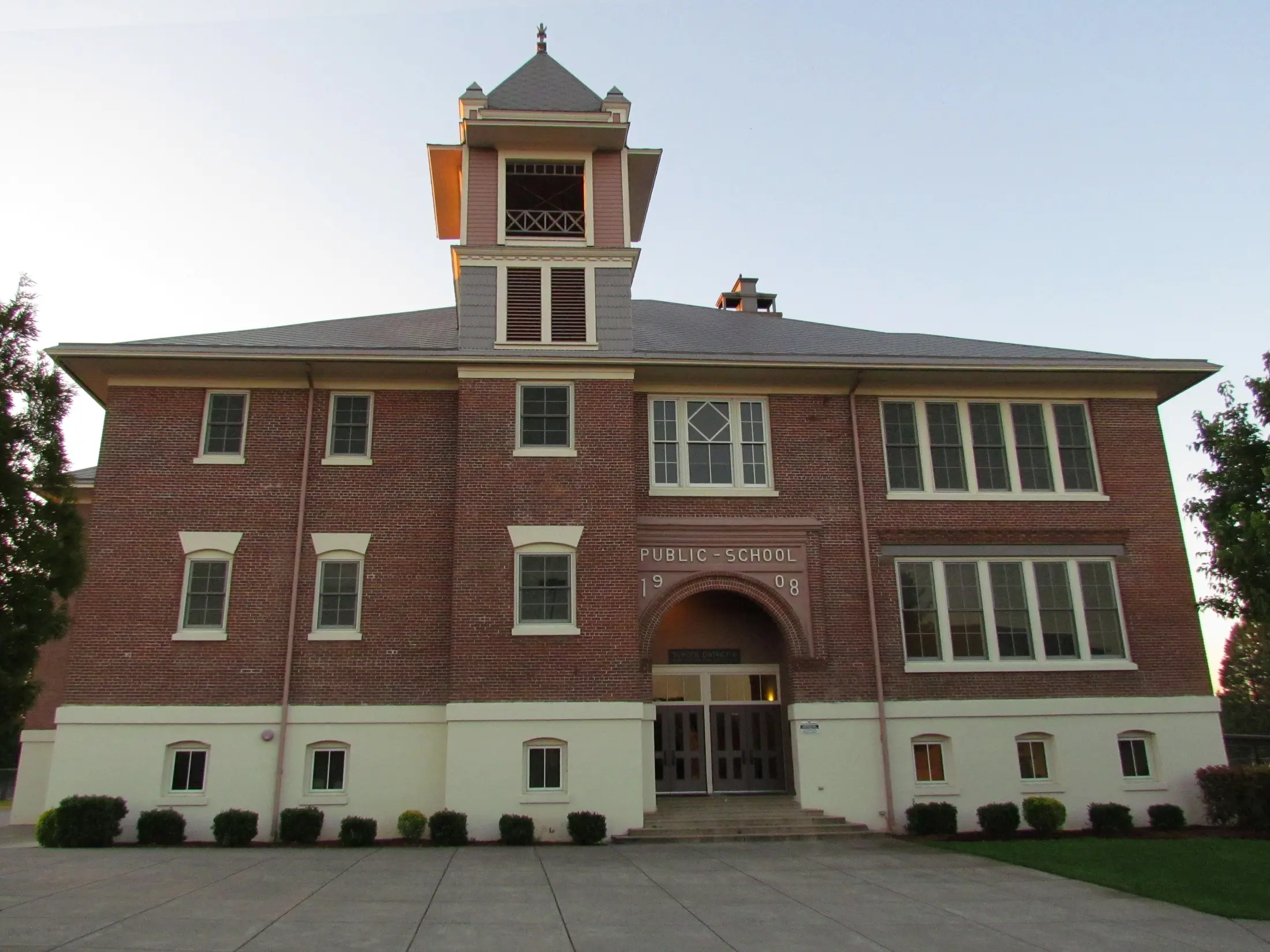
Highway 99 brought road traffic in the 1920s. Rogue Creamery and the Grange Co-op began in Central Point in the 1930s, leaving two visible connections to farming and food production. The grain elevator and the old schoolhouse are reminders that the city was a working agricultural center, not only a suburb of Medford.
War, industry and the highway
Camp White, built a few miles east during World War II, created demand for lumber and jobs. After the war, wood-products businesses and surplus camp housing contributed to Central Point’s growth. The Oregon Encyclopedia records the population rising from about 900 in 1940 to 6,300 in 1980.
Interstate 5 opened a new corridor east of the town in 1960, and tourist and trucking services grew around the interchange. The Expo fairgrounds followed in 1974. These changes help explain why old Pine Street, the former crossroads and the highway district have different shapes and purposes today.
Follow the two centers
Start on Pine Street near the historic school and former depot area, then compare it with the older crossroads near the interstate. For an older layer of the landscape, read the BLM’s Table Rocks cultural history before visiting; its separate trail guide has current rules and access. Use the Central Point community guide for today’s places and events.
Sources and further reading
These links lead to the historical institutions and local agencies used to check this account. Some sources cover the wider watershed; read them alongside the town specific sources.