Eagle Point at a glance
- Before 1850Native communities live and travel across the Rogue and Little Butte Creek country.
- 1872Snowy Butte Mill anchors a farm trade center along Little Butte Creek.
- Early 1900sA rail connection reaches the Upper Rogue country; Eagle Point incorporates in 1911.
- 1940sCamp White and road improvements change the surrounding area's work and travel.
- 1978–87A former school becomes the museum; an older covered bridge is moved here.
A creekside agricultural place
Little Butte Creek links this part of the valley with the Rogue River. Native peoples knew and used the wider watershed long before the name Eagle Point appeared. The settler community grew among farms that supplied the mining districts and other towns after the gold rush. Treat a nineteenth-century town founding date as the start of a municipality, not the beginning of the area's human history.
The creek also supplied the power and location for Snowy Butte Mill, built in 1872 and later known as Butte Creek Mill. Grain processing and local trade brought farmers into one place. The mill and the nearby older buildings explain why Eagle Point became a service center even before incorporation.
Rail, roads and a regional connection
A rail connection in the early twentieth century linked Eagle Point with the valley's wider markets and the country toward Butte Falls. The city incorporated in 1911. Its commercial blocks reflected both the farms close by and the transport route through town, a different pattern from Medford's founding at a main-line depot.
The Second World War brought Camp White to the wider area; afterward improved roads and growing car traffic changed the way people reached work, shops and the Upper Rogue. Highway 62 connects Eagle Point with communities and recreation farther up the river. The museum's local history material includes a study of Camp White and Eagle Point, useful for seeing what that regional change meant here.
Why the covered bridge is here
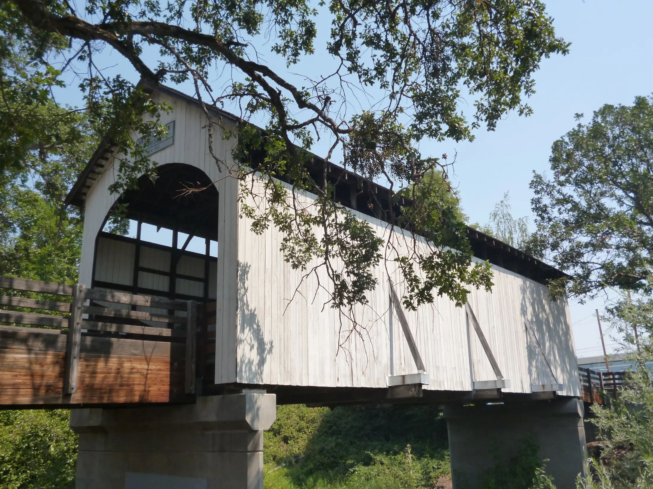
The picturesque bridge by Little Butte Creek was built in 1922 for a crossing over Antelope Creek, elsewhere in Jackson County. Residents moved it to Eagle Point in 1987, where it provides a pedestrian crossing near the old center. It is a real historic bridge, though it does not mark the original nineteenth-century crossing in this exact spot.
That move shows how preservation itself becomes part of a town's history. The bridge and mill are often photographed together; their construction dates, locations and uses tell separate stories. The city's historic-site inventory identifies other surviving structures around the district.
Look beyond the landmarks
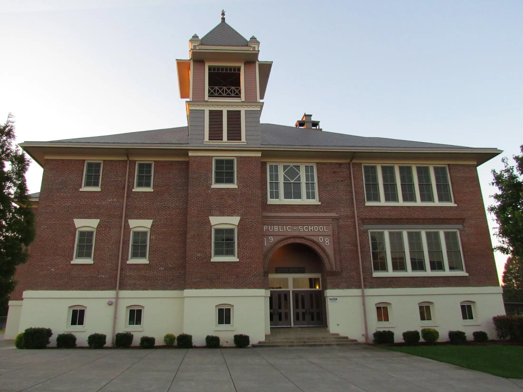
The Eagle Point Museum occupies a former school building moved to its present site in 1978. Its online collection includes photographs, old film, oral histories, school records and studies of local buildings. Listen to a resident's account or compare an old photograph with the modern street: these sources add ordinary work and family life to the mill-and-bridge view.
A useful short walk connects the mill area, the bridge and the museum on North Royal Avenue. Check each site's current access and hours before setting out. For present-day events and places around town, use the Eagle Point community guide.
Sources and further reading
These links lead to the historical institutions and local agencies used to check this account. Some sources cover the wider watershed; read them alongside the town specific sources.