The Rogue Valley at a glance
- Long before 1850Native communities live across the Rogue, Bear Creek, Applegate and Illinois drainages.
- 1850sGold rush, treaties, war and forced removal transform the region.
- 1880s–1910sRailroads, irrigation and orchards shift trade and settlement.
- Mid-1900sRoad travel, timber, wartime development and cultural institutions change local economies.
- 2020 onwardFire recovery and watershed work bring renewed attention to Bear Creek and its communities.
Start with a watershed, not a city boundary
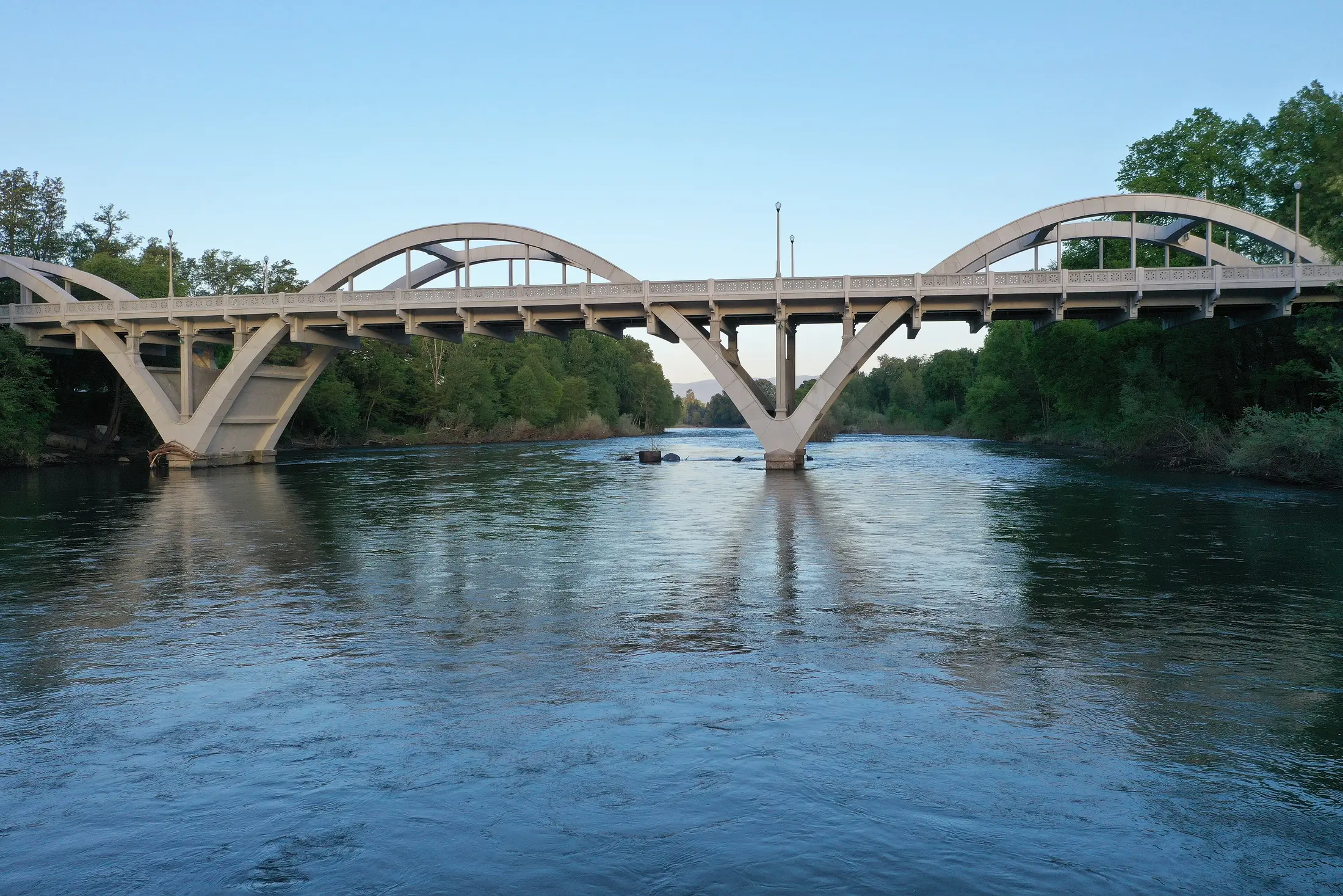
The Rogue River watershed joins places that can look and feel very different. Bear Creek drains the floor around Ashland, Medford and Central Point; the Applegate and Illinois valleys connect from elsewhere. Cave Junction is in the Illinois Valley, not on the Bear Creek floor. The river and its tributaries carried fish, linked travel routes and later supported farms, mills and towns. A map of the water helps explain why these communities belong in one regional account without treating any city as its center.
The Oregon Encyclopedia traces the river from the mountains to the Pacific and documents how mining, dams, irrigation and conservation altered its course and habitats. This broad view makes local differences clearer: a railroad depot in Medford, a gold-rush commercial center in Jacksonville and a caves-road junction in Cave Junction arose for different reasons.
Native histories are ongoing histories
People lived in the drainage long before its modern town names. The Oregon Encyclopedia describes Latgawa in the upper Rogue country, Shasta in the southern Bear Creek Valley, Takelma along the middle river and other Native peoples in the wider watershed. The BLM's Table Rocks materials describe seasonal life, gathering, cultural places and the persistence of descendants. A list of peoples on a map is only an introduction; their territories, relationships and present communities are more complex than a line around a town.
Removal did not end those histories. Tribal descendants, including members of the Confederated Tribes of Grand Ronde, Confederated Tribes of Siletz Indians and Cow Creek Band of Umpqua Tribe of Indians, continue cultural and stewardship relationships with the Table Rocks. The BLM's cultural history and current management pages are a good next step for readers who want to hear how that continuity is represented today.
Gold, war and forced removal
Gold discoveries around Jacksonville in the early 1850s accelerated settler migration, mining and land seizure. The growing camp became a trade center, but a version of this story built only around storefronts and prospectors leaves out the violence faced by Native communities. The 1853 Table Rock treaty, the Rogue River War of 1855–56 and forced removal to reservations were fundamental changes to the region, not a side note to its development.
The Oregon Historical Society's War and Removal account follows the conflict and displacement in detail. Mine workings also changed streams: later hydraulic mining affected the river and fish habitat. A historic main street or scenic river can be read alongside those records rather than as proof of a simpler frontier past.
Tracks, water projects and fruit
The railroad's arrival in the 1880s reorganized valley commerce. The main route crossed the Bear Creek floor instead of passing through Jacksonville. Medford took shape at a depot; Central Point moved its center nearer the tracks; Grants Pass grew on the route farther west. Transport made some locations valuable for shipping and left others to find a different role.
Growers used irrigation and rail access to sell fruit far beyond Southern Oregon. Apples and pears became a major part of the landscape and economy, though drought, markets and speculative booms brought setbacks. Later water projects served orchards and other users while changing streams. The Oregon Encyclopedia's pear-industry history and Rogue River entry show why an orchard photograph also belongs to a story about land, water, work and distant buyers.
The twentieth century took several paths
Highways and cars reduced the railroad's monopoly on travel. Timber and forest work supported communities beyond the orchard districts, while Camp White and wartime mobilization reshaped parts of Jackson County. Ashland's college, park and theater developed another economic and cultural path. Grants Pass's road and river access, Eagle Point's farm center and Cave Junction's gateway to Oregon Caves each show a different balance of work and visitors.
These were not separate eras that ended neatly when the next one began. Orchards still exist beside subdivisions, historic districts beside active shops, and forest uses beside recreation. The Rogue River National Forest account provides context for the region's changing relationship with surrounding public land.
Read today's landscape with that history in mind
The 2020 Almeda Fire and work on the Bear Creek corridor brought attention to how communities, vegetation, transportation routes and water systems meet. The Rogue Valley Council of Governments describes restoration work that began before the fire and continued afterward. Fire and smoke are part of current life, but the region also has long histories of responding to environmental change and deciding how land is used.
For a self-guided route, start with the BLM's Table Rocks cultural history, then use Jacksonville's streets for the mining and trade era, Medford and Central Point for railroad and fruit history, and the city and park sources for Cave Junction. The individual town articles dig into the evidence without making one town stand for the entire region. Check current access on the original agency pages before visiting.
Sources and further reading
These links lead to the historical institutions and local agencies used to check this account. Some sources cover the wider watershed; read them alongside the town specific sources.
- Oregon Encyclopedia: Rogue River ↗
- Oregon Historical Society: War and Removal ↗
- BLM: Takelma Today ↗
- BLM: Table Rocks stewardship ↗
- Oregon Encyclopedia: Medford ↗
- Oregon Encyclopedia: Pears and the pear industry ↗
- Oregon Encyclopedia: Rogue River National Forest ↗
- Rogue Valley Council of Governments: Natural resources ↗