Grants Pass at a glance
- Before 1850River Takelma communities live along the Rogue.
- 1880sA railhead and river bridge help form a county seat.
- 1916–31Irrigation, highways and Caveman Bridge change the city’s connections.
- Mid-1900sWood products and Rogue River tourism become major activities.
- 2000s onwardThe timber transition, library reopening and service economy reshape civic life.
River Takelma land and a crossing
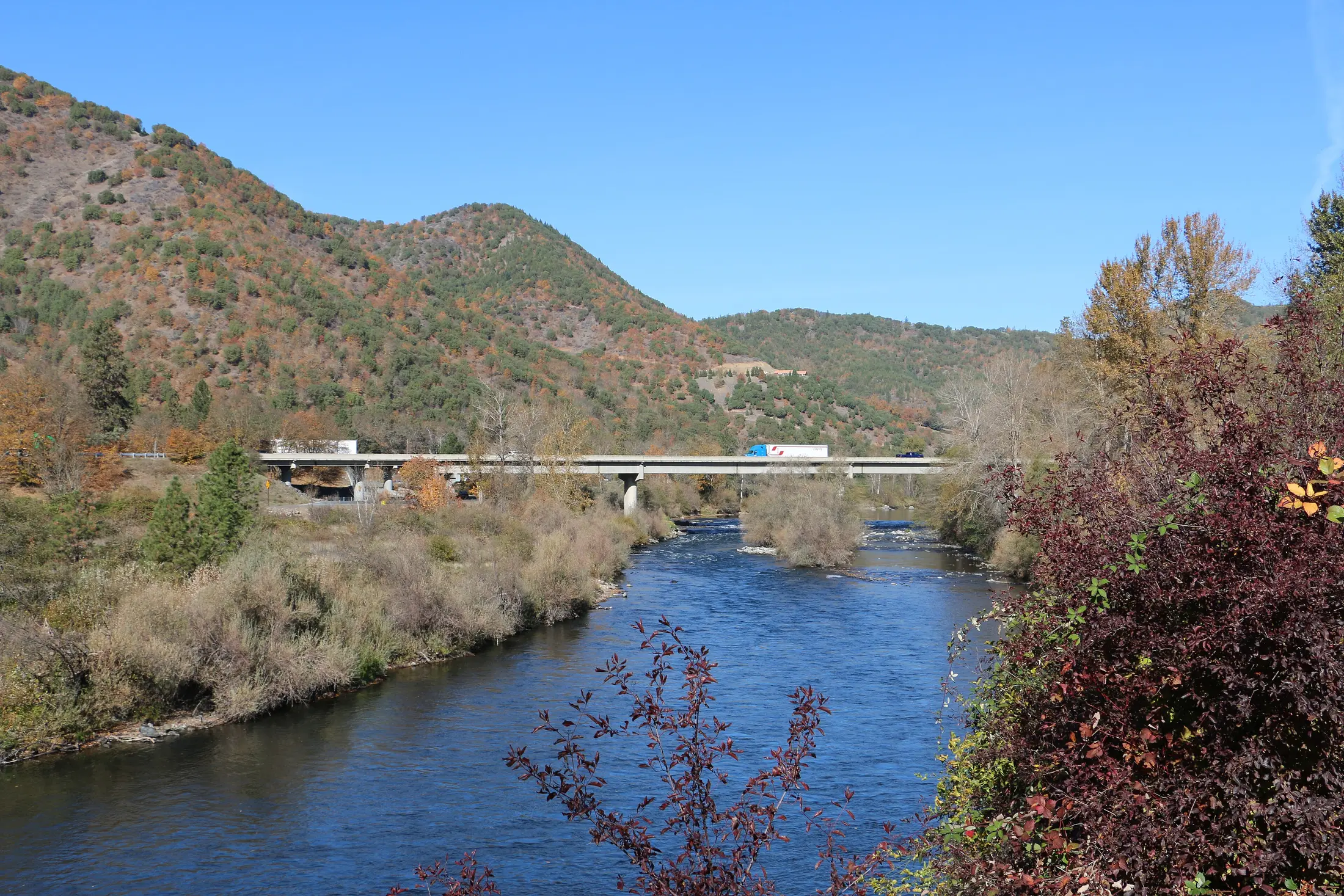
The Rogue River is the reason for the city’s location, but it was a homeland and travel network before it became a town asset. The Oregon Encyclopedia identifies River Takelma peoples in this area. Disease, the 1853 treaty, war and forced removal devastated Native communities. Beginning with a stage stop without that context would make the city seem to appear on unoccupied land.
A stage route between California and inland Oregon crossed this country. Settlers named a stop Grant in honor of Ulysses S. Grant; Pass helped distinguish it from Grant County. The city’s own history explains how the name evolved, including the later loss of the apostrophe in Grant’s Pass.
A railhead becomes a county seat
The Oregon & California Railroad’s arrival in the early 1880s made Grants Pass a shipping and commercial center on the route south. Its depot, first bridge across the Rogue, courthouse, jail, churches, shops and other facilities took shape in the same decade. A county boundary change in 1885 placed the railhead within Josephine County, and the incorporated town became county seat in 1887, taking over that role from Kerby.
The Oregon Encyclopedia records about 1,432 residents in 1890, compared with roughly 250 a decade earlier. These figures show how a rail connection and local government drew people and trade, while nearby mining and farms remained essential to the town’s economy.
Irrigation, timber and new roads
Mining and farming drove much of the economy into the early twentieth century. The Grants Pass Irrigation District formed in 1916 and supported a wider mix of crops. Wood products later became a larger part of local employment. As federal timber harvests fell toward the end of the century, the city and county faced a difficult economic and public-revenue transition.
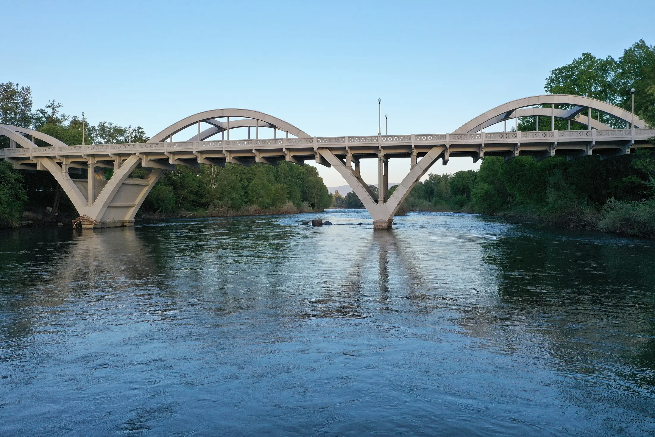
Roads brought a different kind of traffic. The Redwood Highway connected Grants Pass toward the coast and northern California, while improvements to the Pacific Highway strengthened north-south travel. Caveman Bridge, completed in 1931, turned a practical crossing into a recognizable city landmark. Oregon Caves, southwest of the city, became a visitor draw, but its gateway community is Cave Junction in the separate Illinois Valley.
Tourism, civic life and harder chapters
Grants Pass promoted climate and recreation with its well-known motto and, from the 1920s, an Oregon Caveman Club. The club’s theatrical caveman image and the bridge name are pieces of a tourism campaign, not a statement about the Indigenous history of the valley. Rogue River boating, fishing and later community festivals gave visitors other reasons to come.
The Oregon Encyclopedia also records periods of racial and religious intolerance, including local Ku Klux Klan activity. More recently, the loss of timber-related revenue strained public services: the countywide library closed in 2007 and reopened in 2008 through volunteer efforts. These stories belong beside the appealing downtown and river imagery because they explain how residents built, excluded, lost and restored civic institutions.
A useful way to explore the past
Start by the river and Caveman Bridge, then walk the older downtown blocks. The city history page adds dates; its public art maps make a separate self-guided walk possible. Riverside Park lets you see the river that shaped crossings, settlement, trade and recreation. Check current access before visiting.
For current events, housing, services or a day out, use the Grants Pass community and activity guides. The Rogue River article in the Oregon Encyclopedia follows the waterway beyond the city, while this account stays with the town.
Sources and further reading
These links lead to the historical institutions and local agencies used to check this account. Some sources cover the wider watershed; read them alongside the town specific sources.