Rogue River at a glance
- Before settlementNative communities live along and travel the Rogue River watershed.
- 1872The settlement near the crossing receives the name Woodville.
- 1910–12Woodville incorporates, then changes its municipal name to Rogue River.
- 2012The city records a centennial film documenting people, places and traditions.
A town and a watershed with the same name
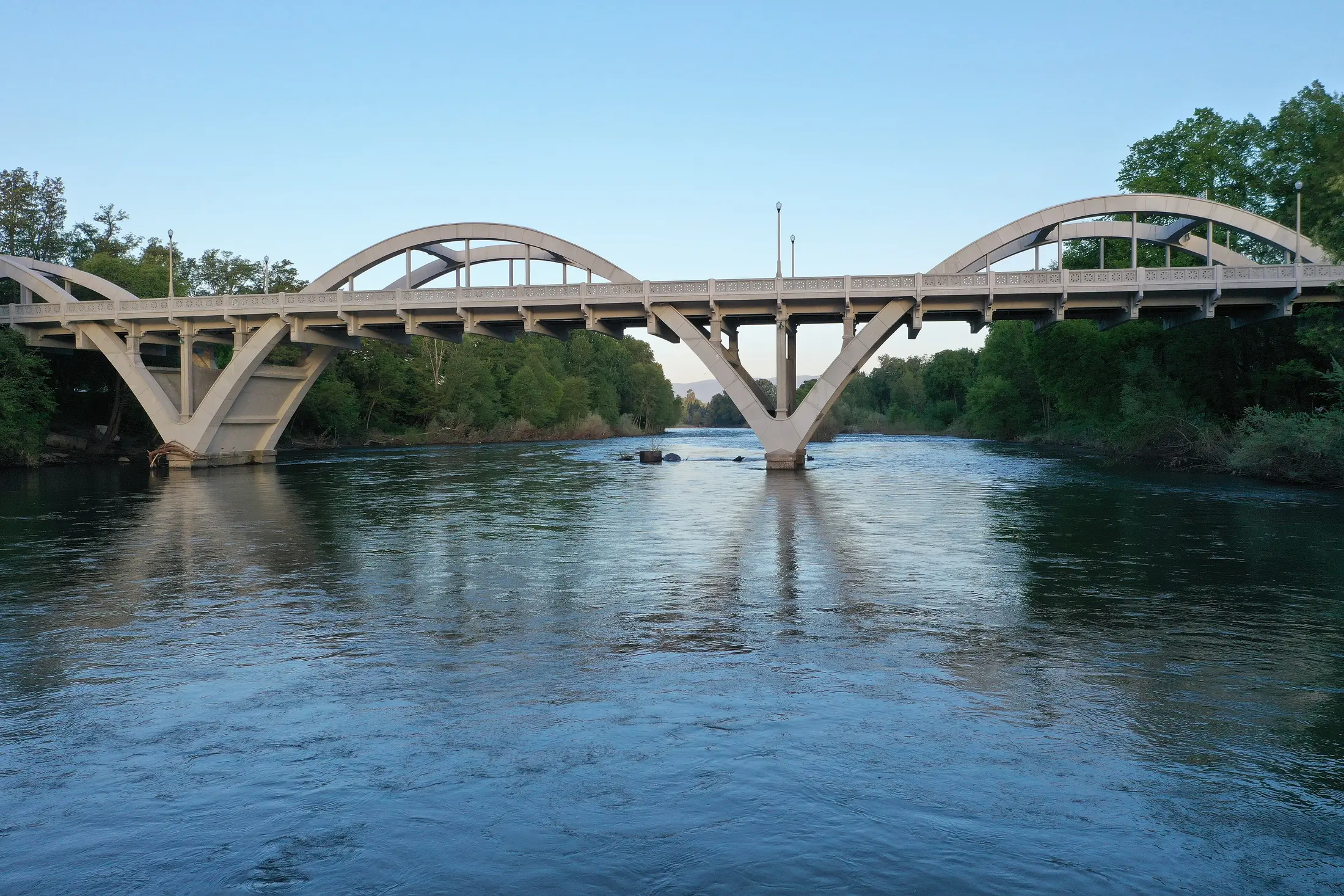
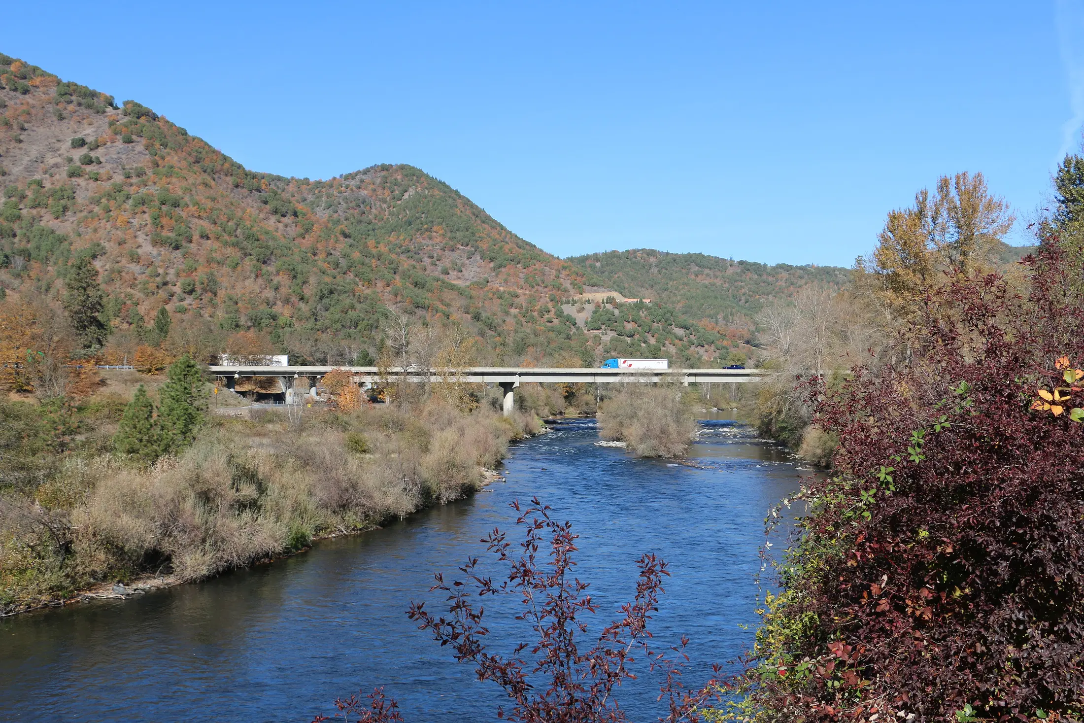
The city sits on the Rogue River in Josephine County, while the river runs through a much larger watershed across southwestern Oregon. Native histories and river travel long precede Woodville or any municipal boundary. Searching for 'Rogue River history' often returns the waterway, its fish or the whole valley; those subjects matter, but they do not explain how this particular town formed.
The city's centennial account recalls the crossing here as a gathering point called Tailholt. Roads, nearby farms and access to the river made a settlement useful. The later Woodville name honored John Woods, according to that account. Local memories in the centennial film offer a closer view than a regional river overview can.
How Woodville changed its name
The settlement took the name Woodville in 1872. The city records its incorporation as the town of Woodville on October 8, 1910, and the change to Rogue River on March 12, 1912. The city and river have shared a name since then, though the town's earlier name still appears in its historical work and museum.
Those dates describe civic decisions, rather than a sudden change in where people lived. The crossing remained important, and the town continued to serve people in the surrounding valley. Use the municipality's dates when tracing a property or local institution; use watershed histories to study the river's longer environmental and Native history.
What the centennial record preserves
For its 2012 centennial, the city shared a film about local people and places. It includes the Woodville Museum and its exhibits, civic celebrations, river recreation, Palmerton Park and the Rogue River Greenway. Those examples show how residents identify their community in the present, rather than simply treating the name as a signpost beside a famous river.
The film also visits Wimer Bridge and Evans Creek country nearby. They are part of the wider community story, not landmarks in the town center. Check the city guide and the original film before building an itinerary; an online historical reference is not a promise of today's hours or access.
Explore the local story
Begin near the river and Palmerton Park, then follow the city's centennial materials to the Woodville Museum and its historical exhibits. Compare a local crossing story with the broader Oregon Encyclopedia account of the Rogue River. The two scales answer different questions: how a community built its civic life and how a watershed shaped many communities.
For trails, public events and current access, use the Rogue River community guide. For a nearby town with a distinct rail and timber history, see Grants Pass; for the valley-wide story, start with the regional history article.
Sources and further reading
These links lead to the historical institutions and local agencies used to check this account. Some sources cover the wider watershed; read them alongside the town specific sources.