Plan the Bear Creek Greenway
A paved corridor for walking, rolling and riding between five Rogue Valley communities. Choose a short segment using the county map, then check the latest access notice before setting out.
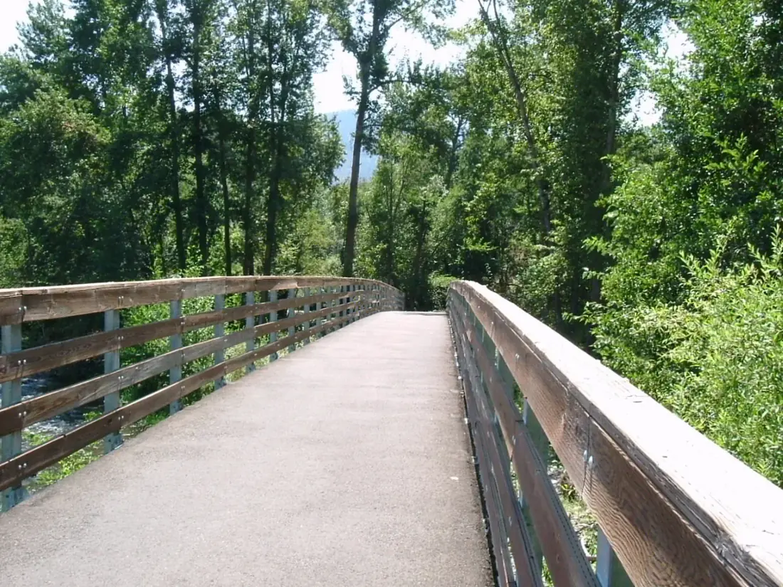 BEAR CREEK GREENWAY · JACKSON COUNTY
Banner photo: Bear Creek Greenway by Robert Ashworth (CC BY 2.0), cropped to fit. Historic photograph; check the county map for the current route.
Where does the trail go?
From south to north, the Greenway links Ashland, Talent, Phoenix, Medford and Central Point. It follows Bear Creek and a corridor near Highway 99 and I-5. You can walk or ride part of it; there is no need to commit to the full route.
Find your starting point and a return point on the county map. Look at road crossings and parking before choosing a segment. The map’s mile markers help estimate a round trip, but check the current route if a project or closure is posted.
Which area is right for you?
- Ashland or Talent: start from the Ashland end or use a marked Talent access point; use the map for parking and your turnaround.
- Phoenix or Medford: choose a central segment to combine a short walk with a town visit. Compare nearby park access on the county map.
- Central Point: check the northern access and the route toward Dean Creek Frontage Road if you want a longer ride.
These are planning choices, not promises about open parking, restrooms or uninterrupted access on a particular day. For more local walks and services, open one of our community profiles.
Check access and conditions
Jackson County directs visitors to its Greenway Projects page for trail status and closures. Read any current notice there before a long ride, and follow posted signs at the trail. For smoke, heat, weather and fire updates, check the valley conditions page and the linked agencies.
Trail description reviewed September 27, 2026 against Jackson County Parks. The county map may predate construction or closures; always follow current county notices and signs.