Valley of the Rogue State Park
An easy riverside nature walk intersecting the Rogue River Greenway, which runs for four miles through the park.
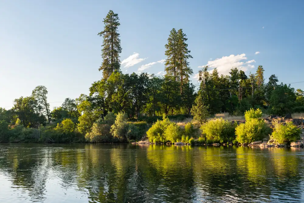 REGIONAL SETTING · ROGUE RIVER · GOLD HILL
Plan this specific route
- Near
- Rogue River · Gold Hill
- Distance
- 1.25-mile interpretive walk
- Effort
- Gentle Editorial estimate
- Route type
- Named route
What the walk involves
Choose the park's signed 1.25-mile interpretive walk for a short nature outing. The Rogue River Greenway crosses the park for roughly four miles, but that corridor is a separate longer choice with a different turnaround plan.
An easy riverside nature walk intersecting the Rogue River Greenway, which runs for four miles through the park.
What makes this trail distinct
The walk follows the riverside setting near Rogue River and Gold Hill. Check state park day-use permit details and notices before traveling; treat the interpretive loop and through greenway as different routes.
Before you set out
Day-use parking requires a permit. Check park notices and choose the signed interpretive trail for the short option.
Use the Oregon State Parks trail information ↗ for the latest route map, trailhead access, permitted uses and notices. Conditions can change after our review; if a junction or sign disagrees with this guide, follow the current land-manager guidance.
Maps, descriptions and video
Start with the managing agency for access and rules. The additional descriptions and videos below offer another look at the area; they do not replace an official map.
Route and source details reviewed September 27, 2026. Mileage labels preserve the land manager's distinction between one-way segments, round trips, loops and full trail networks. Conditions and closures require a fresh check before travel.