Lower Table Rock Oak Savannah Trail
An interpretive walk by the Lower trailhead without the summit climb.
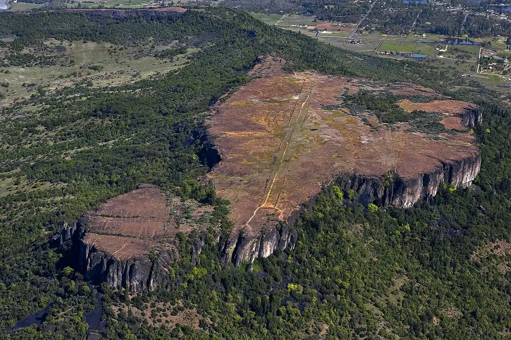 LOWER TABLE ROCK OAK SAVANNAH TRAIL · SOUTHERN OREGON
Plan this specific route
- Near
- Central Point
- Distance
- 0.5 mile round trip
- Effort
- Gentle Editorial estimate
- Route type
- Named route
What the walk involves
Start at the Lower Table Rock trailhead and follow the signed 0.5-mile round-trip interpretive walk with roughly 80 feet of gain. BLM estimates about 30 minutes and describes it as the accessible option in this area. It stays near the base and does not reach the tabletop; check current surface and accessibility details for your visit.
An interpretive walk by the Lower trailhead without the summit climb.
What makes this trail distinct
The short route offers a way to observe the oak savannah without committing to the longer plateau climb. Interpretive signs explain the setting. The same sensitive habitat rules apply here: stay on trail, leave dogs at home and do not walk through vernal pools.
Before you set out
BLM describes this as the accessible alternative; check current surface conditions and details before visiting.
Use the BLM trail information ↗ for the latest route map, trailhead access, permitted uses and notices. Conditions can change after our review; if a junction or sign disagrees with this guide, follow the current land-manager guidance.
Maps, descriptions and video
Start with the managing agency for access and rules. The additional descriptions and videos below offer another look at the area; they do not replace an official map.
Choosing between summits? Compare Upper and Lower Table Rock →
Route and source details reviewed September 27, 2026. Mileage labels preserve the land manager's distinction between one-way segments, round trips, loops and full trail networks. Conditions and closures require a fresh check before travel.